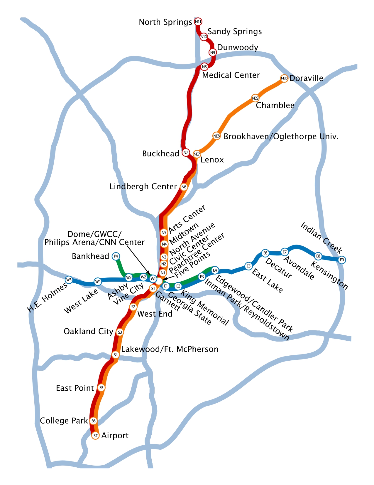
This exercise was aimed at introducing a new line for MARTA employing GIS data in the Atlanta region and analyzing the proposed line and predicting potential ridership using Location-Allocation Modeling.
Proposed Line: Orange (East/Westbound Line) Eastbound to Snap finger Woods/ Westbound to King Memorial
This line was proposed on the East/West belt connecting Gresham Park, Panthers Ville, and Snap finger Woods. The length of the line is 14 miles. The Freeway intersection between I-85 and I-20 inspired to bring up this line. This intersection resembles congestion with the one seen over I-85 towards North Springs which may result in higher ridership.
Deliverable for this exercise was a memo which could be accessed through the link provided here:

Leave a comment